



The first snow has fallen in Ukraine: winter has arrived in the plains two weeks earlier than forecast (PHOTO)
Winter has ‘made an early appearance’ in the plains almost three weeks ahead of schedule.

 The first snow in the suburbs of Kharkiv, on the night of 7 November 2026.
Photo: ‘Обʼєктив’ Media Group


On the night of 7 November, the first snow of the season fell in a number of towns and regions in eastern, central and northern Ukraine — from Kharkiv and Poltava to Dnipro, Kryvyi Rih, Chernihiv and Kyiv. In the Dnipropetrovsk and Kirovohrad regions, the snow has blocked some roads in places, so road maintenance crews are already treating them to prevent ice formation.
Where did the snow fall?
The first snowflakes fell on the plains as early as the evening of 6 November. Wet snow fell in Kyiv and the Kyiv region, accompanied in places by small hailstones. The heaviest snowfall was in the Boryspil district, where a layer of snow about 1–2 centimetres thick covered cars, garages and roads and did not melt. In the capital itself, the snowfall was lighter.
On the night of 7 November, snow reached the Left Bank. In the Poltava region, it began to fall late in the evening, dusting the roofs, trees and roads. In the suburbs of Kharkiv, by morning a thin layer of snow had formed on the pine trees, fallen leaves and grass that was still green. The day before, sleet had fallen several times across the Kharkiv region.
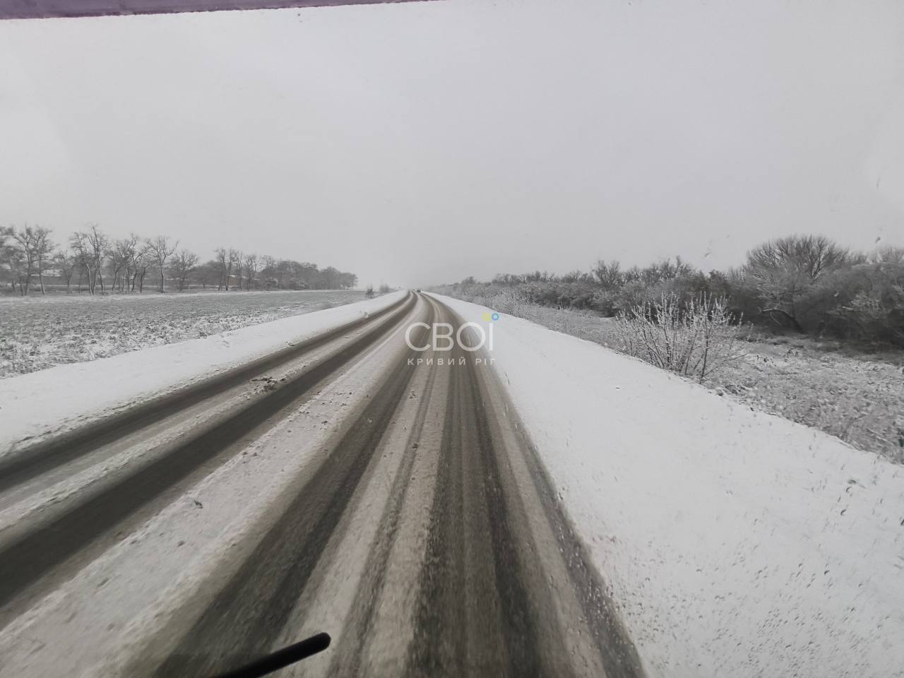
It snowed in Dnipro this morning — the snowfall was captured on camera by the city’s Situation Centre. However, the snowfall there was brief and later turned to rain. Significantly more snow fell in the Kryvyi Rih area: the road towards Kropyvnytskyi was covered in snow, and drivers reported a snowstorm.
The first snow was also seen in Chernihiv, in the Vinnytsia, Odesa and Khmelnytskyi regions, particularly in Kamianets-Podilskyi, where it fell alongside rain. Meanwhile, in Cherkasy and the Sumy region, hail and freezing rain fell instead of snow.
Road workers have taken to the roads
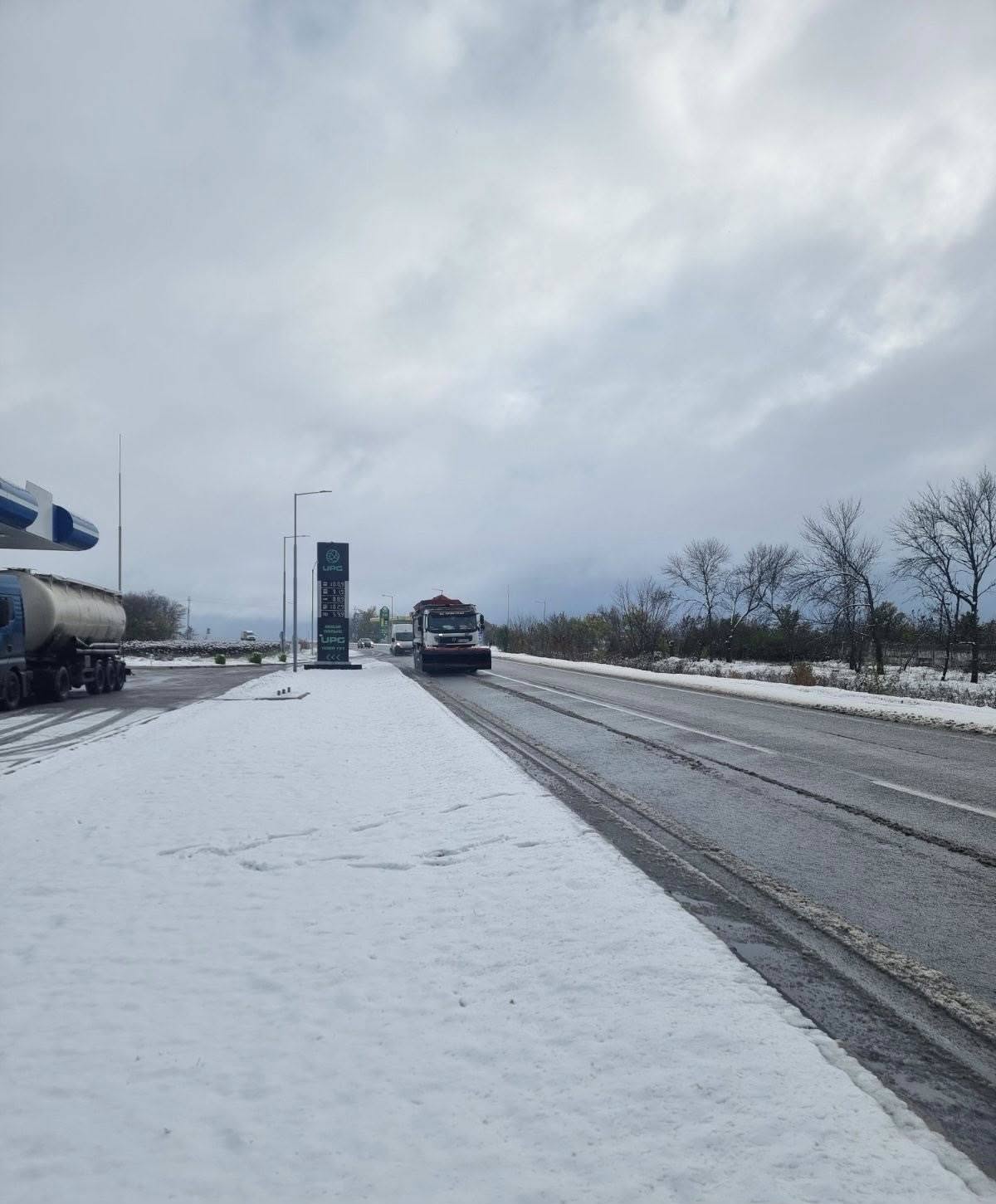
In the Kirovohrad region, road maintenance services have begun clearing snow and treating the road surface with de-icing materials. According to the Kirovohrad Regional Infrastructure Restoration and Development Service, two pieces of specialist machinery have been deployed onto the roads. They were operating on the H-23 Kropyvnytskyi–Kryvyi Rih–Zaporizhzhia and T-12-10 Dolynska–Zhovti Vody routes.
Forecasters at the Ukrainian Hydrometeorological Centre have warned that there will be patches of black ice in the northern, central and eastern regions on the morning of 7 November. Drivers are advised not to delay changing from summer to winter tyres.
The Carpathians — already in winter
Winter has arrived early in the mountains. As early as 6 November, snow fell in the Stryi district — in Tukhla and near Slavske, as well as in Tatariv and Bukovel in the Ivano-Frankivsk region. At altitudes of over 1,300 metres, snow lies on Mount Pip Ivan in the Chornohora range and on Dragobrat. According to mountain rescue services in the Carpathian region, on the morning of 7 November, the weather on Mount Pip Ivan was clear with a temperature of −11 °C.
What’s the weather going to be like?
According to the forecast by the Ukrainian Hydrometeorological Centre for 7 November, overnight temperatures ranged from +2° to −3°, and in the west from −1° to −6°. Daytime temperatures across the country are expected to range from 0 to +6°. In the central, southern and eastern regions, there will still be light snow in places, mixed with rain in the south and east. The wind will be north-westerly and northerly, 5–10 m/s, with gusts of up to 15–18 m/s in the south during the day.
Meteorologist Ihor Kibalchych forecasts that from 7 to 10 November, night-time temperatures in Ukraine will range from 0 to −5°, whilst daytime temperatures will remain largely unchanged. The weather will be influenced by a high-pressure system and a cold Arctic air mass from northern Europe.
Why is this snow so early?
The first snow in the lowland regions of Ukraine usually falls in November: earlier in the north-east and west, later in the south, and on the coasts of the Black and Azov Seas often not until December. However, this year, long-term forecasts had pushed it back to the end of the month. As early as the end of October, meteorologists and international forecasting systems were predicting dates of 22–26 November, and 26 November for Kyiv.
In fact, winter ‘popped in’ on the plains almost three weeks early. This is a good illustration of just how unpredictable the weather has become in the face of climate change: monthly forecasts merely indicate a general trend, whilst sudden incursions of Arctic air can overturn it within a day.
There won’t be any stable snow cover just yet: the ground hasn’t frozen through yet, and daytime temperatures are still above freezing, so the first snow is melting quickly. However, combined with night-time frosts, it creates black ice — the biggest risk for drivers and pedestrians this weekend.
Read more news on GreenPost.


